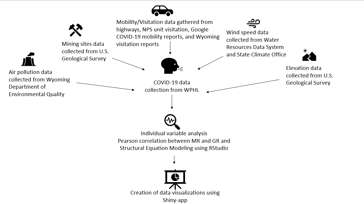
- Completing data acquisition:
- Highway data from the Wyoming Department of Transportation
- Wind speed
- Proximity to coal mining sites
- Highway data from the Wyoming Department of Transportation
- Analysis:
- Calculate county mobility ratios from highway and visitation data
- Calculate county growth ratios from moving averages of confirmed COVID-19 cases
- Statistical modeling (linear and structural equation modeling) to test correlations between environmental variables and COVID-19 outcome
- Utilize ArcGIS for mapping
- Integration of variables, analyses, and visualizations into a user friendly web app